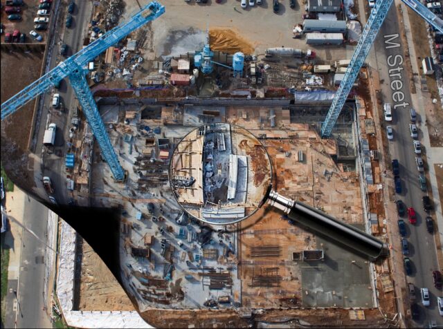
CONSTRUCTION DOCUMENTATION
360° Orbital Coverage from End of Jib / Hook Block
Monthly or Bi-Weekly Documentation
Minimal to No Insurance Requirements
No Airspace Waivers Needed
4 Cardinal Dir. can be captured in Approx. 15 min.
$800/ Month for 4 Inward-Facing wide Stills. NSEW
$1,200/ month for 16 Cardinal Directions
Minimum Duration: Monthly for 1 Year.
*We also document large-scale projects with our aerostat and/or drones.

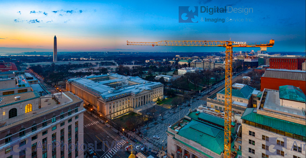
Crane-Mounted 360° Views
DDIS can modify our aerial sensor payload so that it mounts to the hook of a construction crane, allowing us to measure, capture and analyze potential viewsheds. By using an existing tower crane we can capture and analyze the views (and blockages) from floor-specific windows or balconies. With the owners help, we engage the use of a crane when there is an active construction site. In this way we can avoid the safety issues associated with scaffolding, excavations and active concrete pouring. Use of a crane also allows us to document potential view corridors during high winds. Our result is a 360 degree virtual tour with annotated call outs highlighting nearby amenities. Our aerial 360° tours, crane photography, real estate drone photography, balloon photography, and other aerial tools will take your development marketing and analysis to the next level.
Orthomosaics maps and Photogrammetry
We can map large outdoor areas for preliminary survey and documentation needs. By designing a capture strategy for our aerial platforms and pairing it with high-end stitching photogrammetry software, we can produce high-resolution orthomosaics, 3D models, point clouds. While these are usually captured with a daylight camera, we can also capture these with an thermal (IR) camera.

AERIAL PHOTOGRAPHYMARKETING & VIEWSHED ANALYSIS
Client can Live Preview & Capture
360° VR Panoramic views from:
– Key Floors
– Corner Offices
– Amenity Decks
– Penthouses
Crane-Mounted Sensor Cluster may include: DSLR Cameras | IR Cameras | Sound pollution recording equipment | RF Analyzing equipment | Others
360° VR Panoramic views from:
– Key Floors
– Corner Offices
– Amenity Decks
– Penthouses
Crane-Mounted Sensor Cluster may include: DSLR Cameras | IR Cameras | Sound pollution recording equipment | RF Analyzing equipment | Others


